
Have Digital Maps Altered Our Experience of Urban Surroundings?
For many of us, digital maps have become an integral part of everyday life. As common as they have become, we should be aware that they change how we experience cities, argues Matthew Hanchard.
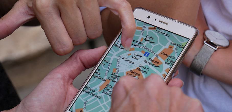
For almost twenty years, digital maps (web service applications like Bing Maps, Google Maps, and OSM) have shaped everyday life for people across the world. Uber drivers use them to navigate the maze of streets in central London. People locate homes to rent or buy in Berlin, using embedded digital maps on property search sites like ImmoScout24. Meanwhile, millions of tourists use digital maps every year to locate, book, and travel between restaurants, points of interest, and hotels across Paris and elsewhere.
What are Characteristics of Digital Maps?
Unlike their paper-based antecedents, digital maps are iterative and include end-users’ local knowledge. Rather than waiting for a printing house to publish a new edition, digital mapmakers can push changes immediately and offer different versions of the map to appease local geopolitical sensibilities. Names and boundaries are malleable and plural, with some areas and territorial claims omitted or obscured entirely. Within this frame, users can add place names, histories, reviews, images, and make mashups with various other datasets. However, final decisions over what to include/omit and proprietary ownership of content lies with a few large digital mapmakers.
In terms of use, people draw on digital maps to look back at past places visited, such as a childhood home. They look forward to possible places to visit, for example choosing a package holiday destination by seeing how close the hotel is to the beach. In short, digital maps shape knowledge and imaginaries about place. This is especially the case via photorealistic image views such as Google’s StreetView. As such, they lend authority both through their near realist imagery, through mapmakers claims to authority, and through the capacity for end-users to update and refine the map content.
The authority lent by digital maps can be drawn on in various ways. When buying a house, one half of a married couple may include/exclude a home from a shortlist by showing it to be outside their chosen area. In business, an employee travelling to visit new clients in an unfamiliar area may find that having a digitally available and ready-at-hand map on a smartphone provides a sense of security. They can navigate and not get lost and see which areas to avoid at night. In turn, they might choose public transport over driving, aligning with their employers’ green policy to secure ongoing work.
How Can Digital Maps Enable New Forms of Citizenship?
At a larger scale, digital maps enable new forms of citizenship. For example, one interviewee, Kelly, was halted in selling her flat in Sheffield by an error with the Land Registry record. The property was incorrectly rotated by 180 degrees. As the state-level institution maintaining records of land holdings in the UK, the accuracy of Land Registry’s cadastral maps is integral to the conveyancing process. To highlight the error and bring about a change:
“I took screen shots from Google Maps [and] Photoshopped on their documents to show which way around it should be, and then…used StreetView to explain exactly which street it should be, and I also drew a big box around the flat to show which street it was actually on, so they could see it wasn’t facing a car park, it was facing a railway and sent those over and Land Registry [who] found them really useful as evidence”
Drawing on proprietary digital map content enabled Kelly to effect change in a state-level record. This worked because Land Registry accepted and acted on the map provided to them. Thus, they legitimated their own role as state-level purveyor of accurate land holding records. At the same time, trusting Kelly’s mashup of Google Maps imagery manipulated in Adobe Photoshop and layered over their own records legitimated both Google as a mapmaker and Kelly as an arbiter of local geographic information about that place.
What this highlights is a potential space for more horizontally organised forms of digital citizenship and participation to emerge, where relations between state and individual are less hierarchical, and more efficient. Kelly’s participation, however, required access to relevant materials (hardware, software, communication infrastructure) and a technical competence that many are not afforded. As a result, other people are left unable to participate in the same way.
Another interviewee (Pam) illustrates this when explaining why her car insurance is unnecessarily high – it shares a postal code with the car park of a nearby retail park with a high crime rate.
“It’s actually mislogged. It’s actually at the edge of a boundary for districts, and behind the house there is like a B&Q and a Toys-R-Us… the crimes are all shoplifting or getting stuff out of cars in the car park, but there is no street to attach the crime to, so they have attached the crime to our street… [so] the car insurance company were like, “Oh there is car crime”, so they put the insurance price up.”
Without the software or technical skills to create a map mashup (like Kelly), Pam is unable to draw on digital maps to challenge the official Police crime listing for her street or car insurers assessment of the area.
Potential and Risks of Digital Maps
In terms of governance, what the two accounts illustrate is that digital map use allow opportunity and space for a horizontally distributed form of digital citizenship to emerge. It offers a route to more efficient record keeping, and empowerment of individuals to interact with and engage both with the state and institutions such as insurers on more equitable terms.
For historically marginalised people, this opens greater opportunities for representation than has often been the case in the past. In Australia, for instance, local histories and knowledges of place have been mapped by first nationals via “songlines” for thousands of years. The verbal format, however, has historically rendered such mappings ill-suited in making legal claims over land ownership from colonialism onwards. By digitising songlines routes, alternative mappings can be made into a format commensurable with cadastral maps. In the digital age, these previously omitted and subalternate ways of knowing and recording are included within digital maps alongside carefully surveyed and measured recordings to produce and formally legitimate plural stories of place.
There is, however, a risk of inequality to this form of participation, where access to relevant materials and competencies generate barriers. What this means for our experience of urban surroundings is that we are at risk of moving towards a fractured society. Some people will draw on digital maps to shape decisions over where to go (from landed capital acquisition to consumption) and how to get there. For others, the authority lent by digital maps provides a way to participate in the shaping of cities in new ways.
To make best use of them, we need a greater awareness of how digital maps shape our cities and of the new opportunities for citizenship they offer. This also calls for a better understanding of which materials and skills people need to participate in changing their urban surroundings by drawing on digital maps. In turn, this this will help us develop cities that are more equitable, whilst benefitting from the full diversity of knowledges available.

- Have Digital Maps Altered Our Experience of Urban Surroundings? - 10. February 2022