
City-Wide Mapping for Disaster Management
Indonesia is one of the most disaster-prone countries in the world. But can maps help in coping with natural disasters? Harry Mahardhika Machmud from Humanitarian OpenStreetMap Team Indonesia shows why spatial data is key for disaster management, and how it can be tailored to the needs of local communities.
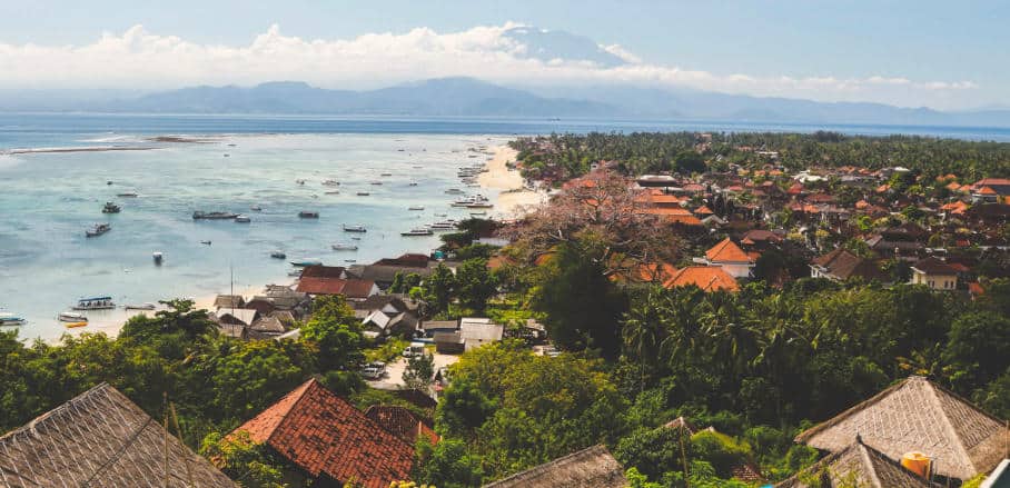
Indonesia is an archipelago country that is constantly at risk of earthquakes, volcanic eruptions, floods, and tsunamis. Located in the Pacific Ring of Fire, there is at least one significant volcanic eruption and one major earthquake in the country every year. A large tsunami can occur once in every five years. As a matter of fact, on several occasions during the past 20 years, Indonesia has made global headlines due to devastating natural disasters that resulted in the deaths of hundreds of thousands of human and animal lives, and in the significant destruction of entire land areas and important infrastructures. As a result, since the establishment of the National Disaster Management Agency (BNPB) in 2008, Indonesia has conducted many disaster-management-programs under its National Disaster Management Plan.
However, only a few of them involved community participation. Indeed, community involvement is key to building disaster resilience in hazard-prone areas. It is ordinary people and citizens that are the first responders during the aftermath of a disaster and have insightful information that can support disaster management programs in their specific areas. One way to achieve this is to include the community in mapping activities. Mapping is a very effective and important tool for creating and updating baseline data on critical amenities like public infrastructure, health facilities, evacuation shelters, or even public roads. Thus, up-to-date maps support effective disaster management regarding preparedness, mitigation as well as response strategies – and by involving the community, the information gathered is immediately prioritised based on actual needs rather than assumptions.
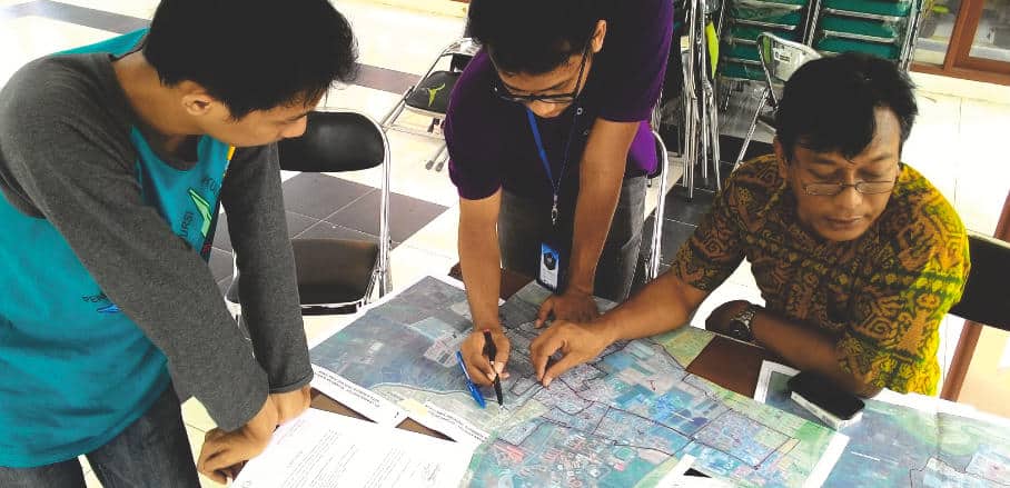
Discussing administrative boundaries with village officers @ HOT Indonesia
Mapping Step-by-Step
To combine community involvement with mapping for better disaster management, the Humanitarian OpenStreetMap Team (HOT), a participatory mapping platform, started mapping Surabaya, Semarang and Jakarta, three major cities in Indonesia: There were four main stages:
Stage 1: Remote Mapping through Mapathons
To complement initial data on building footprints and existing roads, the project joined forced with local university students and conducted city-wide Mapathons, where everyone could add map and geospatial data. Mapathons are great for the time-effective mapping of a large area because many people are working on a map at the same time.
Stage 2: Field Survey by Use of Mobile Phone Apps
We collected all critical information on buildings, roads, and critical infrastructures related to disaster management. In the absence of sophisticated GPS systems, all contributors made use of mobile phone applications (OpenMapKit, ODK) as tools to collect information on essential objects, such as potential shelters. We also involved village representatives and local people in discussions on our mapping activities and progress.
Stage 3: Printing and distribution
After the completed research phase, all survey-related maps and mapping activities were printed out and distributed to the local government, village offices, and the local disaster management agency.
Step 4: Training and workshops
To share the knowledge about mapping activities, workshops were conducted in which we trained local disaster management agency (BPBD) staff and students from the local university in each city.
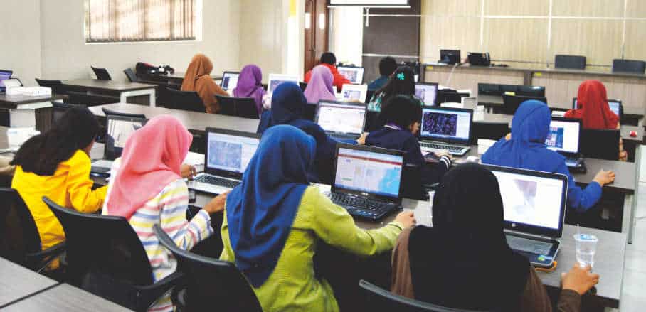
Mapathon with ITS Student © HOT Indonesia
Involving local government and the communities in mapping activity was a solution to gather specific and essential information about what actually has been done, and what else needs to be prepared with regards to disaster management. Moreover, using mobile phone apps for field survey methodology enhanced the contribution from local mappers and resulted in more efficient, effective, and relatively fast mapping.
Data Use and Sustainability
Furthermore, all the data has been integrated into InAWARE, a disaster management platform created by the Pacific Disaster Center (PDC) specifically to plan and create policy related to disaster management. All the results and outputs as well as mapping guidelines are also available for the public and can be accessed freely by everyone through the website of HOT Indonesia.
In order to increase the sustainable value of our work, and support local communities in preparing their own mapping activity in context of disaster management, in 2019, HOT Indonesia expanded and conducted many more integrated trainings in several provinces in Indonesia. The main goal was to build and strengthen capacity in mapping methodology, hopefully enabling local governments and the community to conduct mapping independently. Moreover, HOT Indonesia also has created a free training platform that contains all of the training material, which can be accessed freely by everyone who wants to learn about mapping.
Replicability
Mapping is a very effective way to involve the local community in disaster management, and the work conducted by HOT Indonesia is replicable by any organisation, community, or even individual anywhere in the world. In the spirit of sharing best practices, all the material of the training is available online and can be accessed and downloaded by anyone. One concrete example of the replication can be found in the Philippines, where the PDC has replicated the project in collaboration with HOT Philippines this year. As a conclusion: as long as you have local community involvement, adaptive technology, transparent methodology, and shareable knowledge, you and everyone else can contribute to up-to-date maps that support disaster management tailored to the needs of local communities.

- City-Wide Mapping for Disaster Management - 13. August 2020