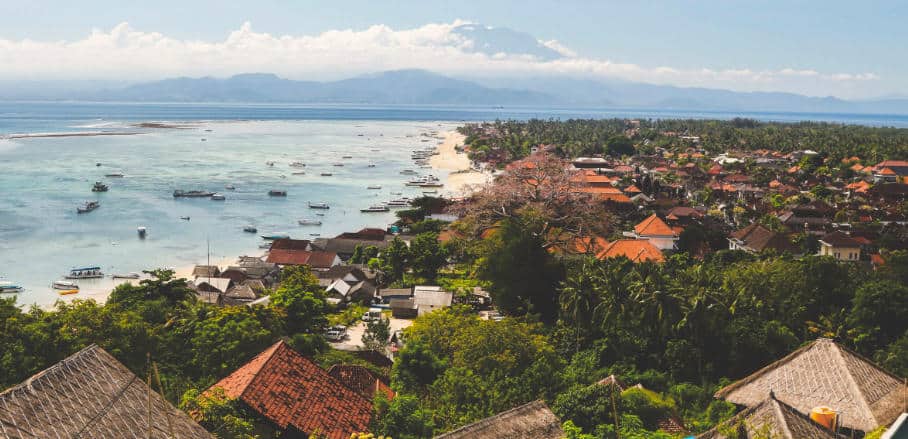
City-Wide Mapping for Disaster Management
Indonesia is one of the most disaster-prone countries in the world. But can maps help in coping with natural disasters? Harry Mahardhika Machmud from Humanitarian OpenStreetMap Team Indonesia shows why spatial data is key for disaster management, and how it can be tailored to the needs of local communities.
