
Collaborating for a geographical information system in Kairouan
By Kathrin Faltermeier
For sustainable urban planning, administrative bodies, service providers and citizens need to work together. In Kairouan, Tunisia, different actors are collaborating to put in place a comprehensive geographical information system for their city.
The “Generating a Geographical Information System: a step towards the smart city” project is one of two projects implemented within the framework of a communal knowledge transfer in Kairouan. The project’s endeavour is to draw coverage maps of the low, medium, and high voltage network in Kairouan, as well as of the city’s road network, phone network (landlines and mobile phone services) and the water and sewerage system.
Mohamed Sayed Baklouti, member of the temporary municipal council of Kairouan, describes the current supply with gas, water and electricity in the city as “anarchic”: “If there is a water leak somewhere, it often happens that residents help themselves and tinker with the official constructions”, he says. “In many areas, people have installed or branched off pipelines themselves, which are now beyond our control.” As a result, the many unofficial pipeline systems do not show up on the city’s development plan, which was last updated a few years ago.
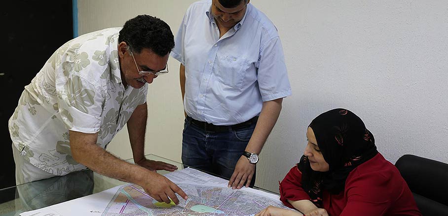
The Geographical Information System aims to make the maintenance and development of existing supply infrastructure easier for both municipal administrations and service providers. Thus, they will be able to provide better supply and quicker service, which in turn benefits the civil society: “A geographical information system would make our work so much easier!”, says Ibtissem Tamallah, who works at the office for communal construction projects in Kairouan. “It would allow me to check from my office which buildings are connected to the city’s water system, for instance.” The city of Kairouan hopes to receive support from Germany in form of technical consulting and knowledge exchange.
Sami Daaloul, an active member of civil society, says that the idea for the project was initiated by a local organisation: “The administration currently does not have a good working relationship with the civil society and local associations. In the past, local officers were only authorised to carry out orders from above. They never directly interacted with the citizens.”
Citizens are now supposed to take a more active role. Online or via apps, they are invited to participate in developing the coverage maps by reporting problems, adding information and suggesting solutions. Doing so enhances the dialogue amongst the citizens as well as the interaction between citizens and the municipal administration. Baklouti, Tamallah and Daaloul agree: “We want the citizens to develop a better understanding of their city; this is not possible without understanding the municipal supply system.”

- Collaborating for a geographical information system in Kairouan - 8. November 2016